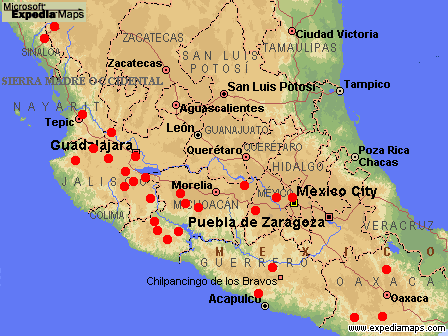
Range of Pinus douglasiana (1). Adapted from a map by
www.expediamaps.com
Common Names
Taxonomic notes
Type: Nayarit, Cerro Juanacata, July 1940, M. Martínez 3429 (holotype, MEXU) (1).Description
Range
Mexico: Mainly Jalisco, Michoacán, México & N Morelos, but extending N into Nayarit and the Sierra Medre Occidental crest between Sinaloa and Durango, and extending S locally into Guerrero & Oaxaca. Found at (1100-)1400-2500(-2700) m elevation in mixed pine and pine-oak forests. At the highest and wettest sites it is associated with Abies sp., Picea sp. (in Durango) or Cupressus lusitanica . More commonly, it is found with Pinus pseudostrobus, P. herrerae, P. leiophylla, P. lawsonii, P. ayacahuite in the S part of its range, P. oocarpa at low elevations, and P. devoniana in drier sites (1). See also (2).Big Tree
Oldest
Dendrochronology
Ethnobotany
An important timber tree within its range, typically logged with its congeners in mixed stands (1).Observations
Remarks
Citations
(1) Farjon & Styles 1997 .(2) Robert S. Thompson, Katherine H. Anderson and Patrick J. Bartlein. 1999. Atlas of Relations Between Climatic Parameters and Distributions of Important Trees and Shrubs in North America. U.S. Geological Survey Professional Paper 1650 A&B. URL= http://greenwood.cr.usgs.gov/pub/ppapers/p1650-a/pages/conifers.html, accessed 22-Jan-2000.
[ Pinus ] [ Pinaceae ] [ home ]
This page is from the Gymnosperm Database
URL: http://www.geocities.com/RainForest/Canopy/2285/pi/pin/douglasiana.htm
Edited by Christopher J. Earle
E-mail:
earlecj@earthlink.com
Last modified on 24-Jan-2000